
Chris Coleman
37°11’30”N:105°25’46”E@2438m-PlotA3
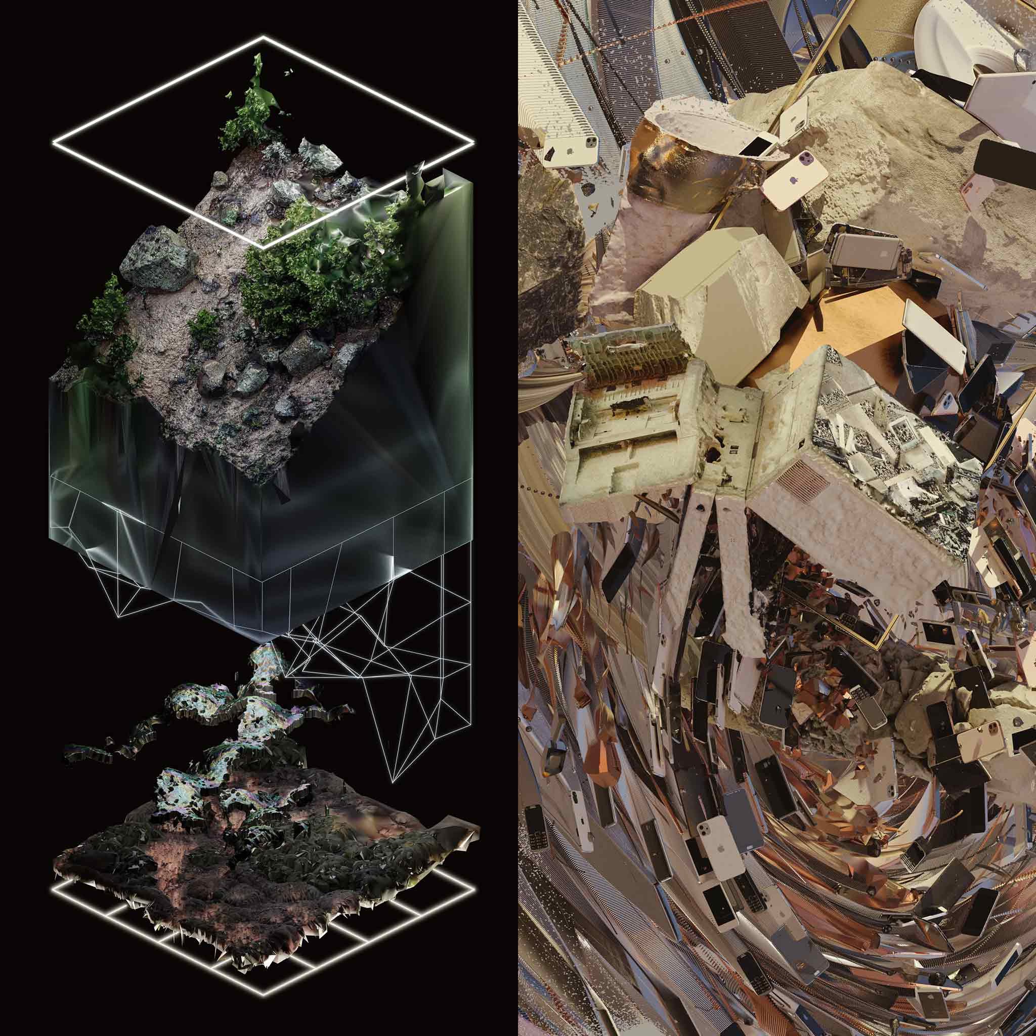
Humans scan the surfaces of the earth, bombarding it with rays that look deep underground, hoping to find metals and treasures for extraction. The barely decipherable images returned from such scans are almost always unclear and yet tantalizing, leading people to carve off the top of entire mountains. And yet, it is the surface that holds the future, where we receive enough energy from the sun and wind to do everything we need to thrive.
In this layered work, every component is derived from the 3D scan. The computational surface of rocks, plants, and soil becomes abstracted, compressed, distressed, and rematerialized into the different strata, offering a false sense of what exists beneath. These plots all come from one large scan of a hillside in the San Luis Valley of Colorado. A drone was used to take more than 400 images of the hill, and then a complex slab of silicon in a GPU turned all those images into millions of points and polygons.
ABOUT THE NFT
Contract address: 0xfae99fa7ecc5f03343c79a54d7176282be7d76b1
Blockchain: Ethereum
Token standard: ERC-721
Metadata: Frozen and decentralized


